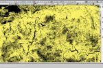
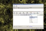
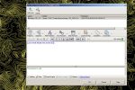
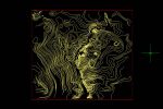
Sometimes You need to clip/crop features spatially – lets say Your dataset is too big for any reasonable work (Fig. 01 – 02). There are as usual more ways how to achieve this in CADs:
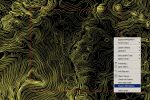
1. Querying to filter the dataset through Expresion Builder – Figs. 03 – 07 show the area of interest (red rectangle) filtered by Locate on Map function. Features outside of polygon are filtered out and resulting set of features could be saved as new dataset. However, Figs. … show the disadvantage of such a scenario – features are handled as compact entities and they are not “trimmed” to the defined constraints but filtered in/out as a whole object.
2. MAPTRIM function. “Cutting” features to extent defined by rectangle.

