If anyone believes that science is not subject to fashion trends, then they should read the latest scientific articles about the demise of civilizations in Central Asia. While for the last 50 years there was a general consensus that the Mongols (Tamerlan, etc…) were behind the demise of the Turkic empires, under the influence of the eko movement of recent years, more and more renowned studies are appearing on the influence of climate on the fall of empires such as Kokand, Samarkand, Bukhara, etc…
Well, we can pretend we believe them. We are talking about the so-called “hydraulic societies”, where the management of water channels was closely related to survival in arid regions. The raids of marauding nomads did not have to directly destroy the cities, it was enough to damage the canals and their maintenance and everything went to hell…
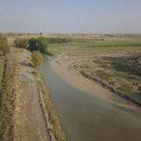
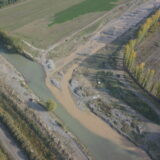
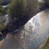
Everyone knows the tragic case of the great rivers Syr Darya and Amu Darya, destroyed by the monumental plans of the Soviet Union to irrigate the deserts of Central Asia. However, this phenomenon that the streams flowing from the Tian Shan and the Pamir are “lost in the steppe” (or the water from them is diverted to irrigation canals for agriculture) is also visible on smaller streams, as in the case of the Taldyk River, around which I moved in November 2024 as part of the archeo.kg expedition. In its upper and middle reaches (in the mountains, where there is no agriculture), the Taldyk is a significant water-flowing river, but once it descends into the agricultural plains of Ferghana (Kara Suu region), its flow decreases and decreases until it becomes a dirty stream flowing into an irrigation canal Savai where it ends definitively. Figs 01 and 02 show his sad end… (in Fig. 03 local specific technical equipment for pumping water in local village).
- Fig. 01. Dirty stream of Taldyk meeting its end in Savai canal… Note the smaller canal on left, getting water from Savai to fields.
- Fig. 02. Dirty stream of Taldyk meeting its end in Savai canal…
- FIg. 03. Hi-tech in pumping water..
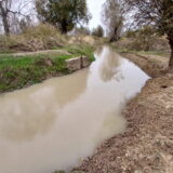
Water channels from rivers have their own size hierarchy, not unlike the system of blood vessels and capillaries in the human body. I always scoffed a bit at the Kyrgyz infrastructure (bad roads, construction chaos…) until I realized that they have a lot of work to do with the canal system, the maintenance and proper functioning of which is much more important than, for example, newly painted road markings. Large canals (often concrete troughs) surround the villages and have culverts at regular intervals that distribute the water into smaller canals surrounding the fields themselves – Fig. 04 – 06.
- Fig. 04. Big canal near Shorobashat village. Note concrete culvert aside.
- Fig. 05. Sometimes hard to get over…
- Fig. 06.A canal built without concrete, the large volume of soil on its banks after cleaning the canal is evident.
Small canals are kept in operation by the owner of the field – all you need is a shovel and a pickaxe. From them, the water spills directly onto the agricultural area, which is often waterlogged – fig. 07 – 09.
- Fig. 07. Small canal and water on fileds…
- Fig. 08. Small canal.
- Fig. 09. Water overflow on field.
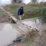
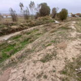
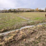
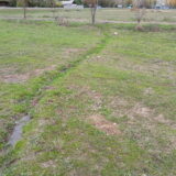
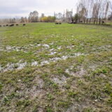
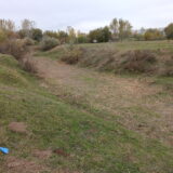
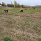
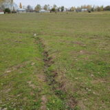
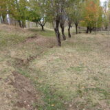
Of course, canals are not always full of water – during periods of vegetation rest, or even for a long time, you can come across unused canals of all types and sizes – Fig. 10 – 12.
- Fig. 10. A big dry canal, somewhere around Uzgen.
- Fig. 11. Small canal along the field.
- Fig. 12. Small dry canal on field.
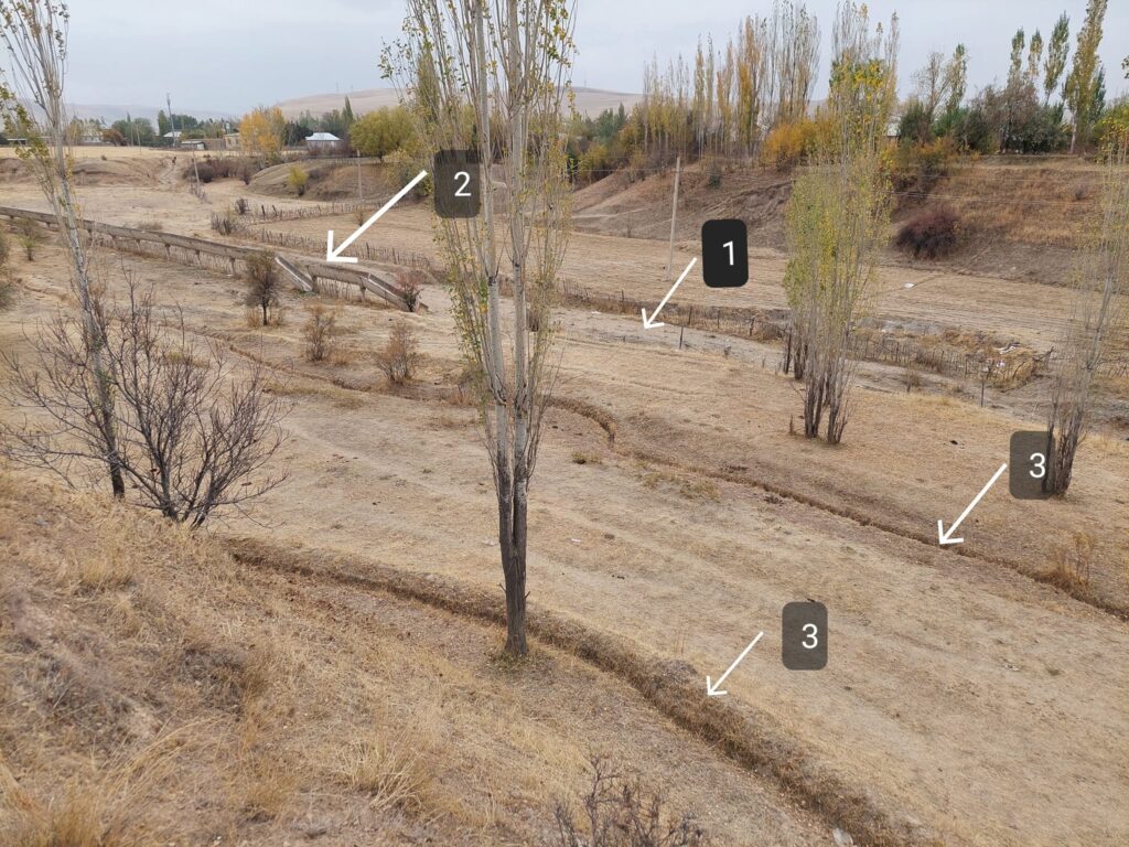
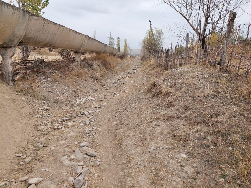
At the Karatay site, I came across a beautiful example of the “stratigraphy” of irrigation canals from different periods – an old dry canal of a larger type (1), a concrete broken canal from Soviet times (2) and currently functional farmers’ canals directly on the fields (3). On next photo a relationship of (1) and (2) is shown…
And few pics of specific situations…
The level of the channels is thoroughly thought out for the correct flow of water. Sometimes, for example, a prehistoric rampart is used to guide the pipe, other times canals are run along the banks and foothills of the tepes for a smooth and slow flow.
Canals and their slopes are often planted with fruit trees – their root system prevents erosion and maintains the shape of the canals.
And finally – canals in the city, as a contrast to the village fields. The city of Osh and the installation of canals – large canals are carefully maintained concrete gutters (often dating back to the Soviet Union), even the pavement infrastructure thinks about water and its flow.

