The “visibility” in GIS environment is frequent and simple method of spatial analysis in various fields (e.g. archaeology, tourism, military survey etc… ). Sometimes it is called viewshed one. The use of this kind of analysis in archaeology is based on assumption of:
- the strategic position of a site for defence purposes (visual monitoring of a certain area; mostly the roads and crossroads?)
- or the site regional significance/social presentation (a site demonstrates itself for a specific area) – not military objects exclusively, consider e.g. religious objects as well (church, cathedral etc…).
- or both
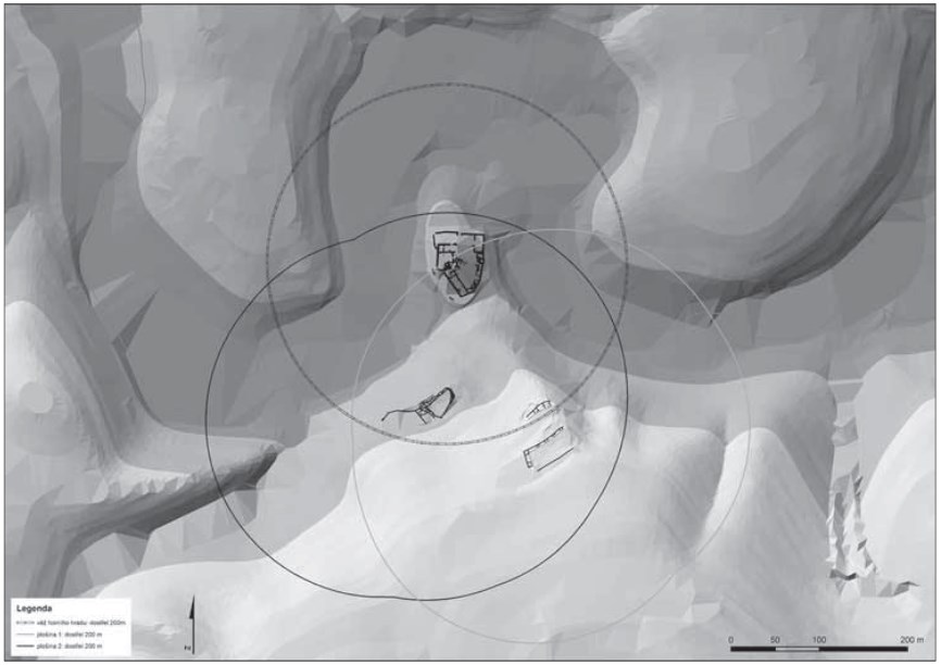
The medieval castle positioning serves as typical example – holding visual control over some area while promoting the land “ownership” of local nobleman (Fig. 01). Regardless of problems interpreting prehistoric and historic mind (and spatial perception before all) by our mental frame, I will presume above mentioned as granted.

Visibility analysis – history in short and those pretty times with no computers
Visibility examination has a long tradition in a warfare, mainly after the gunpowder introduction. In fact the “visibility” could be easily changed by “firing range” – a lot of so-called Vauban fortresses were built with respect to this phenomenon. Even older castles (15. – 16. cent.) have been quickly equipped with earthworks located in a certain distance from the castle core to prevent optical aiming of a field artillery (Fig. 02).

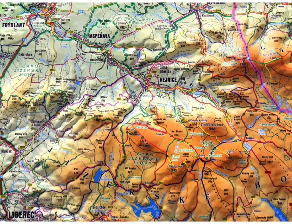
Surely I do not need the GIS software for “visibility analysis”. The “plastic map” (exagerrated 3D terrain model, Fig. 03) serves good as well with either light or rope connecting two locations (observer vs. point of interest). Having no plastic map one may work with paper topographic map and calculate the height of every point between two locations. Nevertheless these “hand methods” are neither quick nor reliable.

